About the Bays

About the Bays

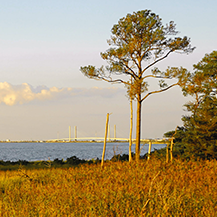
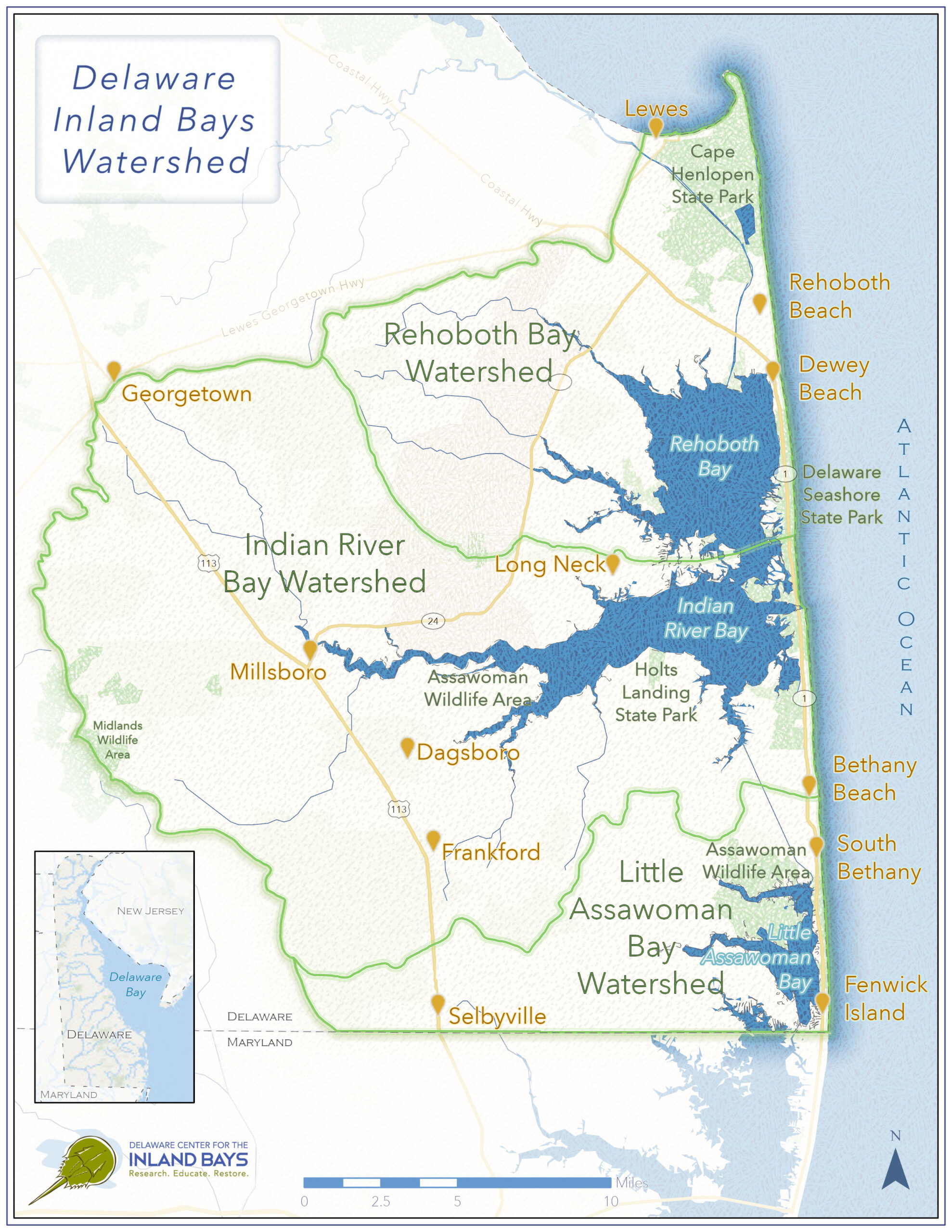
The Delaware Inland Bays are three shallow interconnected coastal lagoons in southeastern Sussex County. From north to south, these are Rehoboth Bay, Indian River Bay, and Little Assawoman Bay.

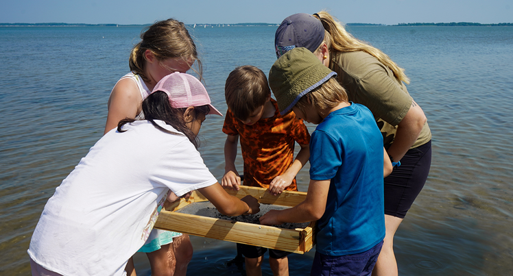
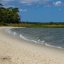
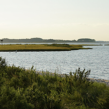
The Bays are situated behind a narrow barrier island that separates them from the Atlantic Ocean. As estuaries, they are a place where the rivers meet the sea. Freshwater flowing from the land mixes with saltwater that flows through the Indian River and Ocean City Inlets in an explosion of biological productivity. Home to hundreds of species, they are a nursery for important fish, shellfish, and migratory bird populations, making them vital to the protection of marine ecosystems in Delaware. Saltmarshes, tidal flats, forests, meadows, and saltwater creeks can all be experienced in this watershed and collectively provide immense value. Through their enhancement of tourism, outdoor recreation, and real estate, the Bays also support $4.5 billion in economic activity every year.

The Bays are shallow, with an average depth ranging from 3 to 8 feet. Because they are so shallow, and because they are poorly flushed by tidal movement, they are especially sensitive to environmental changes, including human activities and the climate. Increases in pollutants, changes in salinity, and fluctuations in water temperature, for example, can have dramatic effects on water quality and on the plants, fish, shellfish, and microscopic creatures that live in the bays.


The Inland Bays Watershed

The watershed of the Inland Bays comprises 292 square miles of land that drains to 35 square miles of Bays and tidal tributaries.

The watershed itself reaches to the north to the southern edge of the Delaware Bay in Lewes. From there, it extends south through Rehoboth Beach, Dewey Beach, Bethany Beach, and South Bethany to its southern border in Fenwick Island at the Maryland state line.

Heading west, the Inland Bays watershed weaves through the eastern portion of Sussex County, enveloping the towns nearest Route 113 including Selbyville, Frankford, Dagsboro, Millsboro, and Georgetown, and ending just before reaching Route 404.

Land use and land cover in the watershed, based on 2012 estimates, is 31% agriculture (including crops, orchards, and pasture), 17% forest (including brush), 28% water (including the Bays, wetlands, and barren areas), and 24% developed and developing lands.

Issues Affecting the Bays

Two major areas of concern have been identified as critical issues for Delaware’s Inland Bays: eutrophication (rapid plant growth due to excessive nutrients) and habitat loss.

Due to urbanization, agricultural activities, and low flushing rates, the Bays have become highly enriched with nitrogen and phosphorus. While these nutrients are essential for plant and animal growth, water quality can deteriorate when nutrients are present in excessive amounts. When that happens, algal growth accelerates and

In December 1998, the Delaware Department of Natural Resources and Environmental Control set Total Maximum Daily Loads (TMDLs) for nitrogen and phosphorus for the Indian River and Rehoboth Bays. A TMDL was created for Little Assawoman Bay in December 2004.

TMDLs, as defined by the U.S. Environmental Protection Agency, calculate the maximum amount of a pollutant allowed to enter a waterbody so that the waterbody can meet water quality standards. A TMDL sets a “pollutant reduction target” and “load reductions” necessary to target the source(s) of the pollutant so that impaired waterways can once again be fishable or swimmable.

Water quality goals created in those TMDLs call for eliminating all “point sources” of pollution directly entering these water bodies. A “point source” could be something like an outfall pipe that sends treated stormwater or wastewater into the Bays and/or their tributaries. “Nonpoint sources” of pollution can include runoff from lawns or impervious surfaces, which does not come from an easily identified pipe or other source.

The TMDLs also require a 40% reduction in nonpoint phosphorus pollution in the Indian River, Rehoboth, and Little Assawoman Bays and a 65% reduction in the upper Indian River watershed; a 40% reduction of nonpoint nitrogen loading in the Indian River Bay, Rehoboth Bay, and Little Assawoman Bay and an 85% reduction in the upper Indian River watershed.

The concerns related to nutrient over-enrichment in the Bays means there needs to be a reduction in nutrients coming from a variety of point and nonpoint sources in the watershed.

In addition to these problems, the loss of valuable aquatic, upland, and wetland habitats are also stressors on water quality in the Inland Bays.